ABOUT US
Capturing Reality. Delivering Precision.

Capturing Reality. Delivering Precision.
ScanLogic3D is a specialist 3D reality capture and geospatial technology company operating under DJR Strydom Professional Land Surveyors, based in Pretoria, South Africa.
We combine advanced 3D laser scanning, LiDAR, photogrammetry, drone technology and professional surveying expertise to capture the physical world with exceptional detail and accuracy.
Our goal is simple: to turn complex physical environments into accurate, usable digital information.
From buildings and infrastructure to industrial facilities, construction sites, mining operations and large-scale developments, ScanLogic3D provides high-quality digital capture solutions that help our clients better understand, document, design and manage their environments.
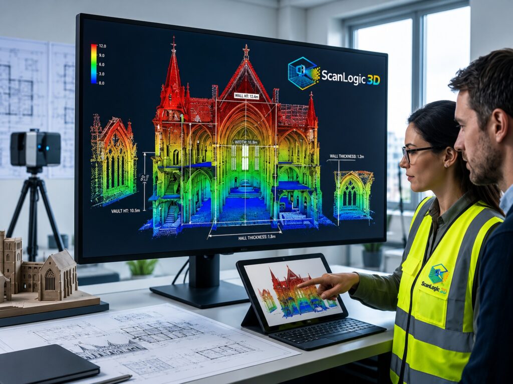
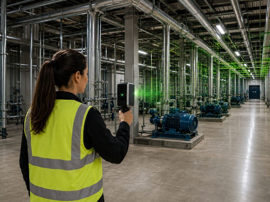
At ScanLogic3D, our mission is to provide accurate, reliable and practical 3D reality-capture solutions that help our clients better understand the environments they work in.
We strive to make every project accurate, efficient and straightforward, while taking the time to understand what our clients actually need. Whether it’s a small building or a large-scale industrial, construction or infrastructure project, we are committed to delivering data that our clients can trust and use.
Above all, our mission is to combine technology, professional surveying expertise and a genuine commitment to our clients to deliver better ways of measuring, documenting and understanding the world around us.
At ScanLogic3D, our team combines professional surveying expertise, technical skills and practical field experience to deliver accurate and reliable spatial solutions.
Professional Surveyor
DJR Strydom provides professional leadership and surveying expertise, ensuring that projects are supported by sound surveying principles, accuracy and quality.
Survey Technician
MP Makhubela is a Survey Technician responsible for supporting surveying operations, spatial data collection and the preparation of accurate project information.
Survey Technician
N Kruger contributes technical expertise to surveying and data-capture activities, supporting the delivery of reliable and well-organised spatial information.
Assistant
J Masombuka provides essential support to the team, assisting with field operations and contributing to the smooth and efficient execution of projects.
Together, our team combines professional expertise and practical experience to deliver accurate, efficient and project-ready reality-capture and spatial solutions.