OUR SERVICES
Reality Capture & Spatial Solutions
Reality Capture & Spatial Solutions
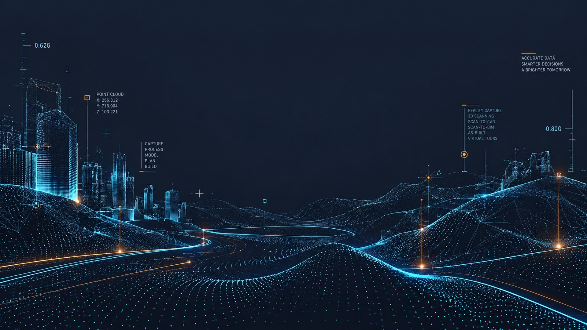
ScanLogic3D provides professional 3D reality capture, spatial documentation, digital modelling and technical drawing solutions for the built environment. From initial site capture to final drawings, models and virtual environments, we transform real-world conditions into accurate digital information that can be confidently used throughout your project.
FROM SITE TO DIGITAL
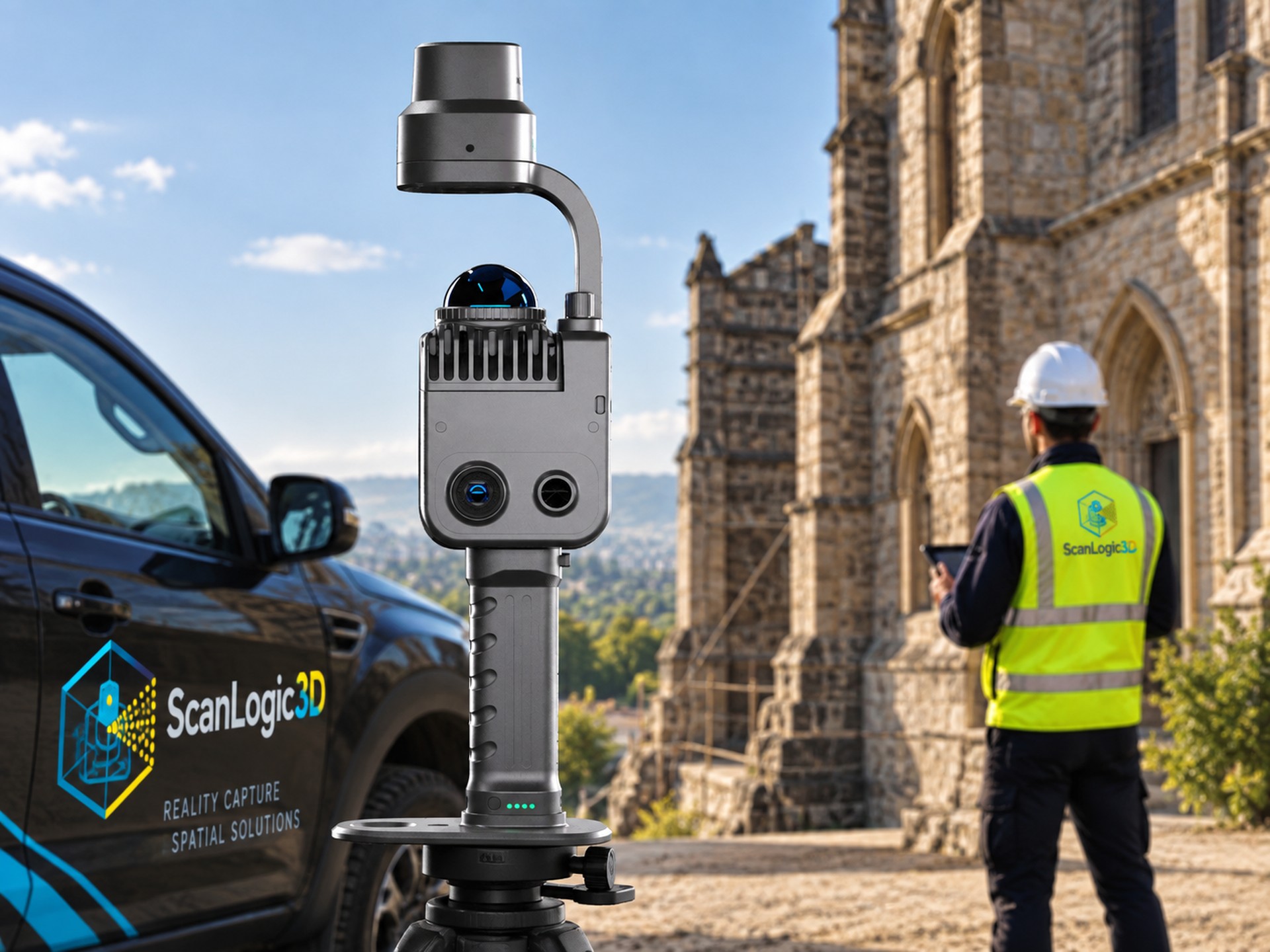
Our services combine 3D laser scanning, LiDAR, photogrammetry, drone technology, professional surveying expertise, spatial data processing and technical drafting.
By creating a detailed digital record of existing conditions, project teams can revisit and analyse captured environments digitally, helping reduce uncertainty and unnecessary repeat site visits.
Accurate data provides a dependable foundation for planning, design, construction, renovation, documentation and ongoing asset management.
Our core services cover the complete workflow from capturing physical environments through to processing, technical documentation, modelling, analysis and immersive digital presentation.
Turn physical environments into accurate digital information.
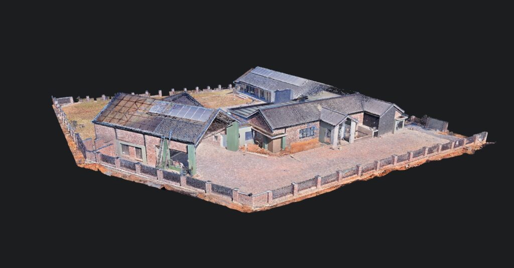
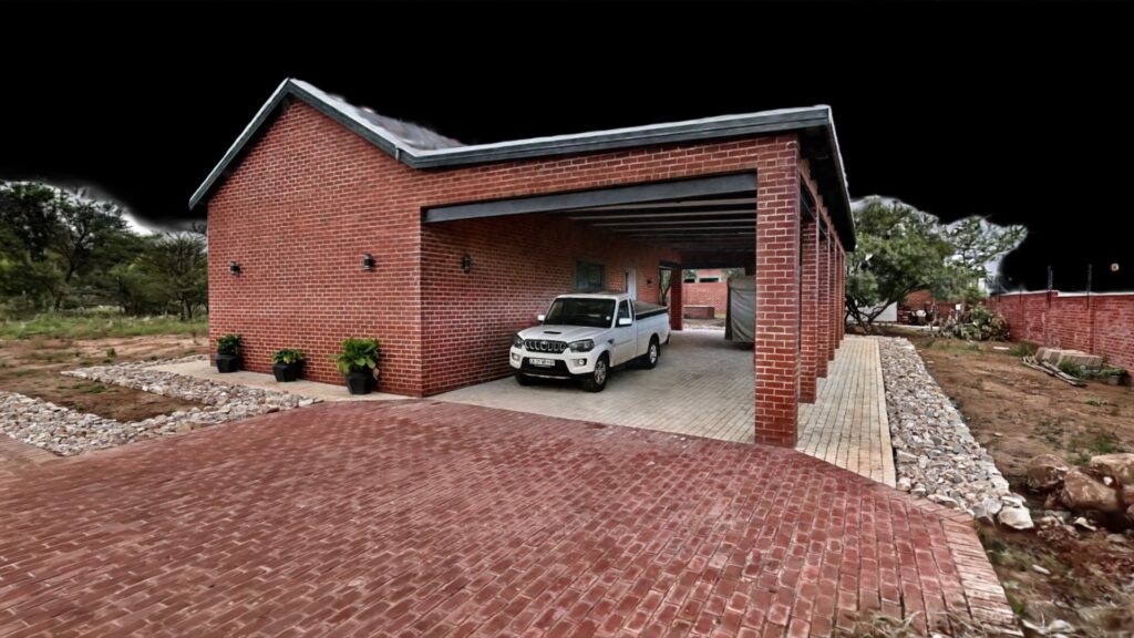
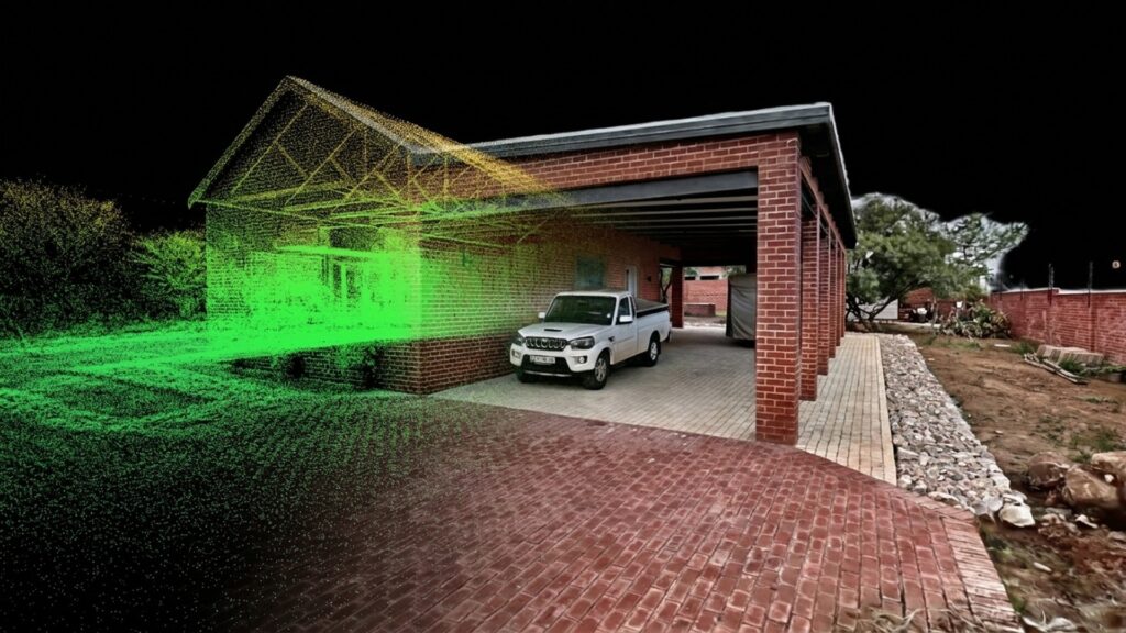
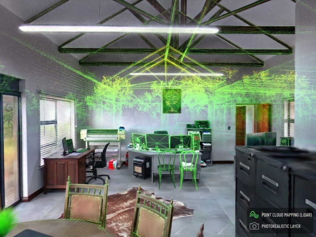
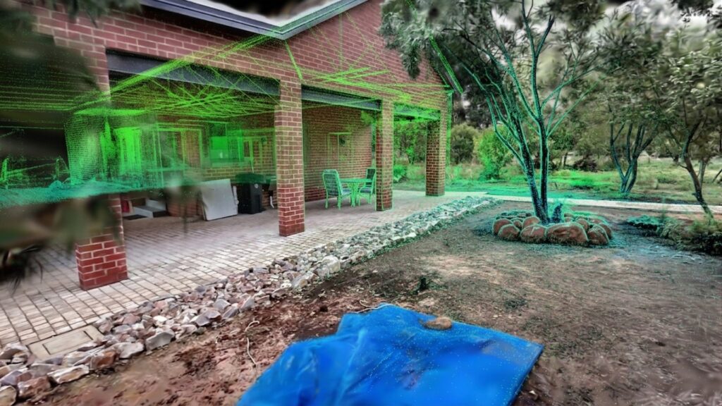
We capture detailed spatial information from buildings, structures and sites to create a highly accurate digital record of existing conditions.
The captured data can support building surveys, planning, design, renovations, engineering, construction verification, as-built surveys, facility management, property assessment and spatial analysis.
Capture it once. Measure it accurately. Build with confidence.
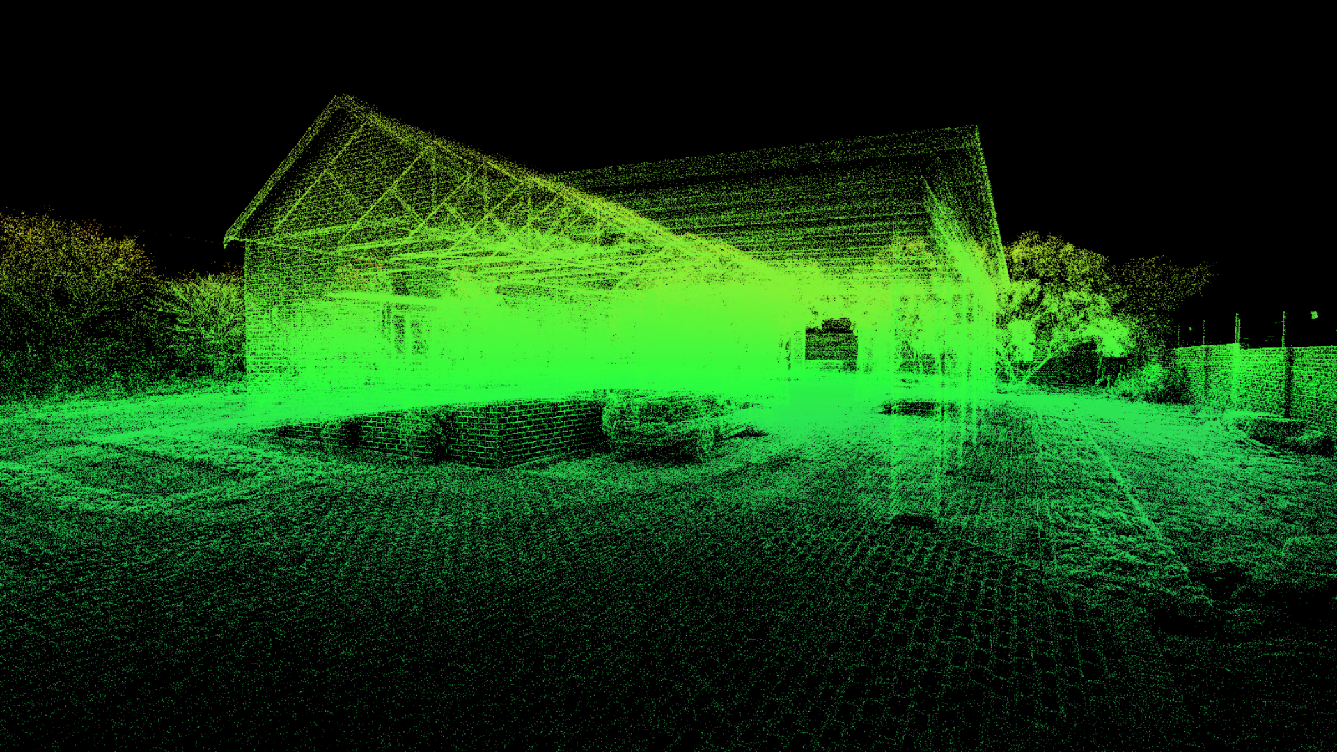
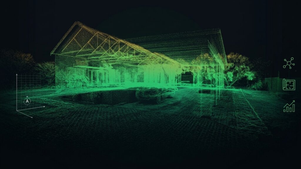
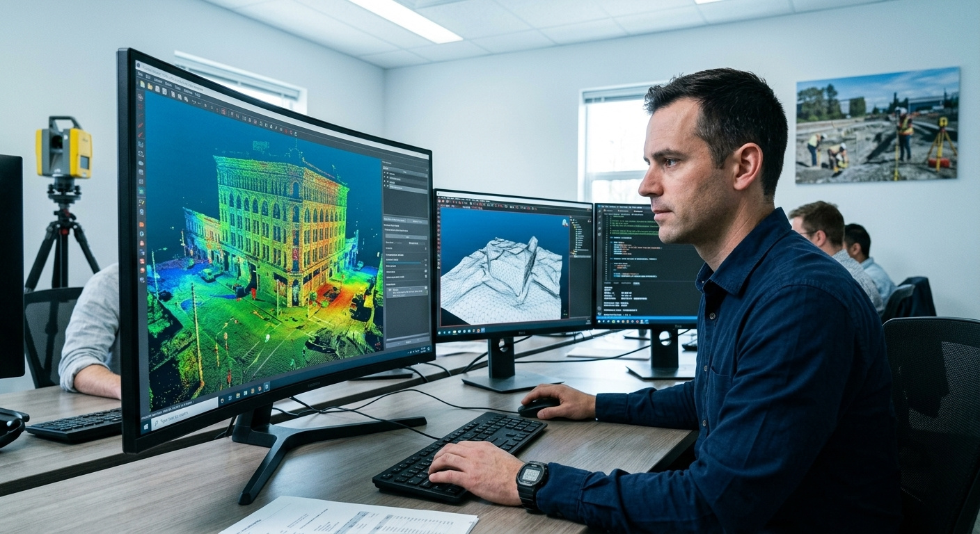
Transform raw scan data into accurate, usable information.
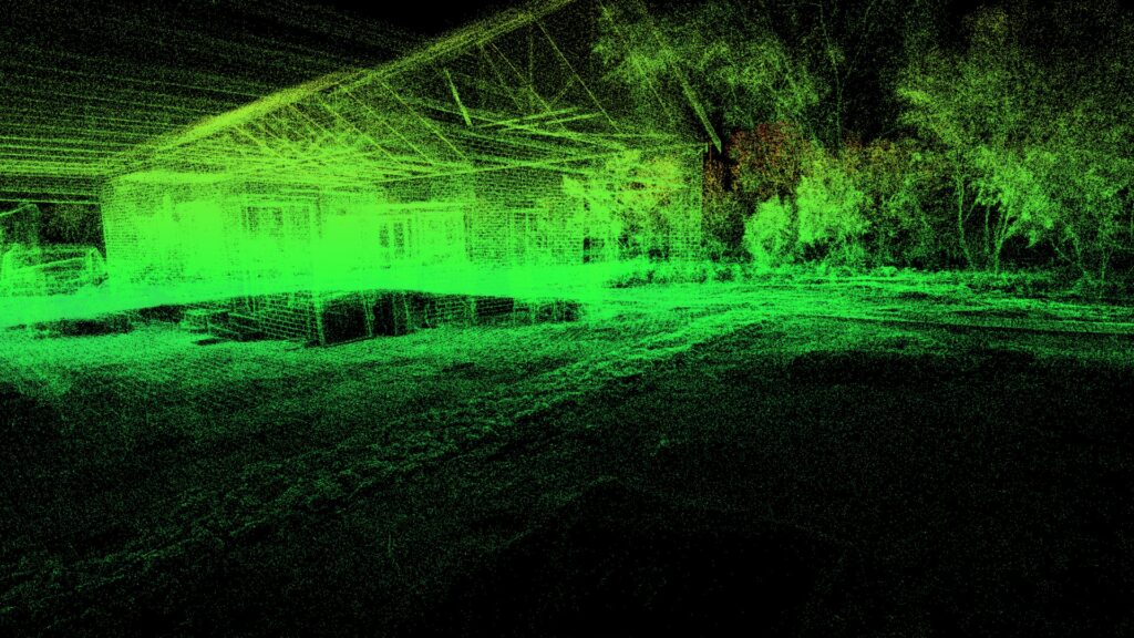
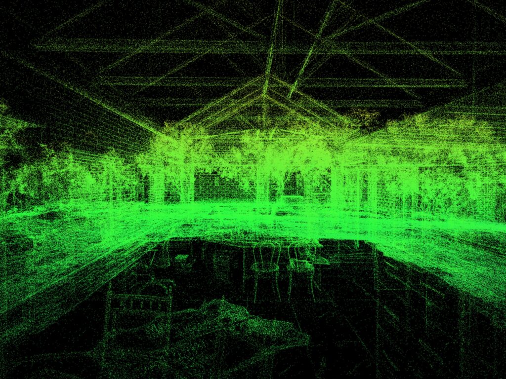
Millions of individual scan points are registered, cleaned, aligned and optimised to create organised and highly accurate point-cloud datasets.
Processed data can be integrated into surveying, engineering, architecture, construction and documentation workflows, making complex spatial information easier to work with and use.
Raw data in. Clear, reliable information out.
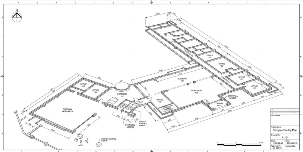
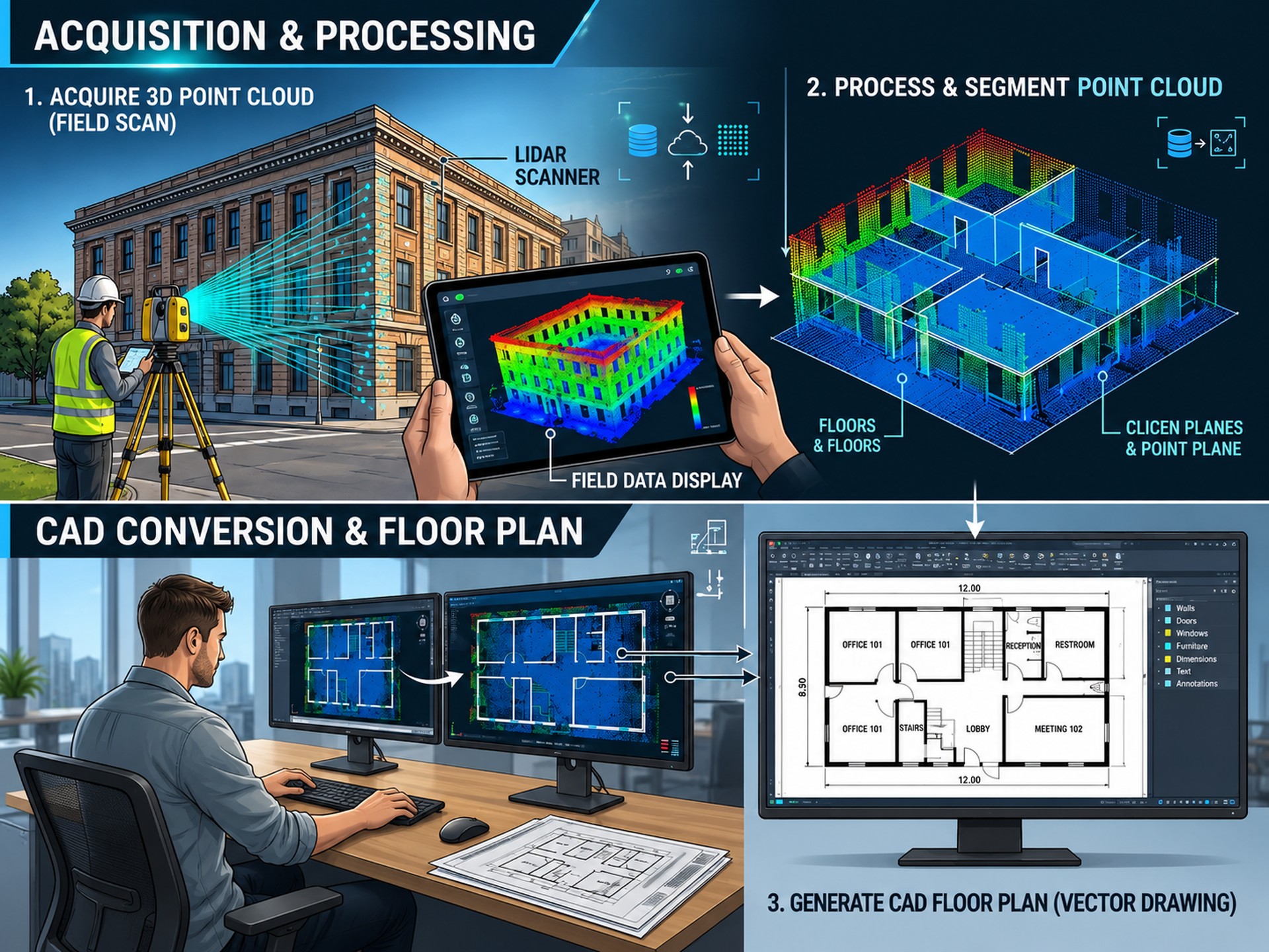
Turn captured conditions into clear, editable technical drawings.
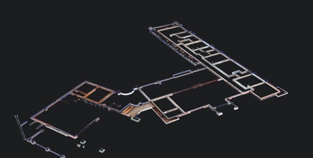
Reality-capture and point-cloud data is converted into accurate 2D CAD documentation that reflects real-world conditions.
Deliverables can include floor plans, elevations, sections, detailed layouts, site information and complete technical drawing packages for design, renovation, engineering, construction and documentation.
From point cloud to drawing, accurately, efficiently and ready to use.
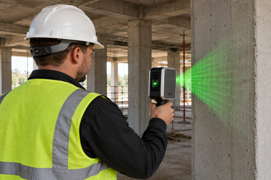
Accurate documentation of what is actually there.
We document buildings, structures and sites as they exist at the time of capture, particularly where original drawings are outdated, incomplete or unavailable.
Project deliverables can include floor plans, elevations, sections, dimensions, floor areas, layouts and site information, providing a dependable record for renovations, construction, engineering, architectural design and property documentation.
Know what exists. Plan with confidence.
Go beyond basic plans when your project requires greater detail.
Detailed documentation can record built-in furniture, permanent fixtures, appliance and sanitary locations, electrical points, ceiling features and HVAC elements.
Roof information can include layouts, slopes, drainage directions and other relevant architectural features, creating a more comprehensive record of existing conditions.
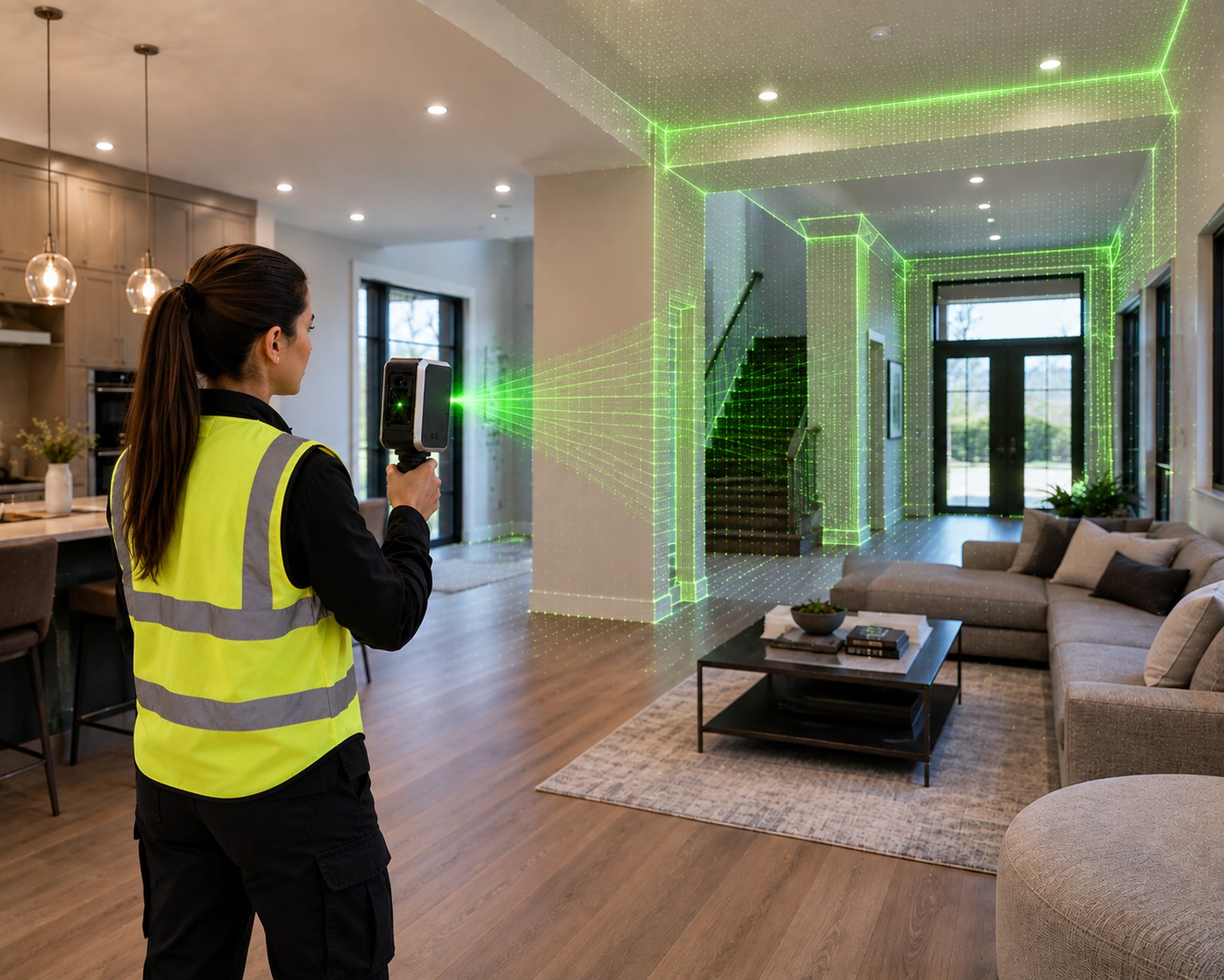
PROPERTY SOLUTIONS
For property assessment, management and presentation, ScanLogic3D provides accurate floor plans, room dimensions, floor area information and existing-condition documentation.
Digital property visualisation, 360° panoramic imaging and immersive virtual walkthroughs provide additional ways to document, understand and present a property.
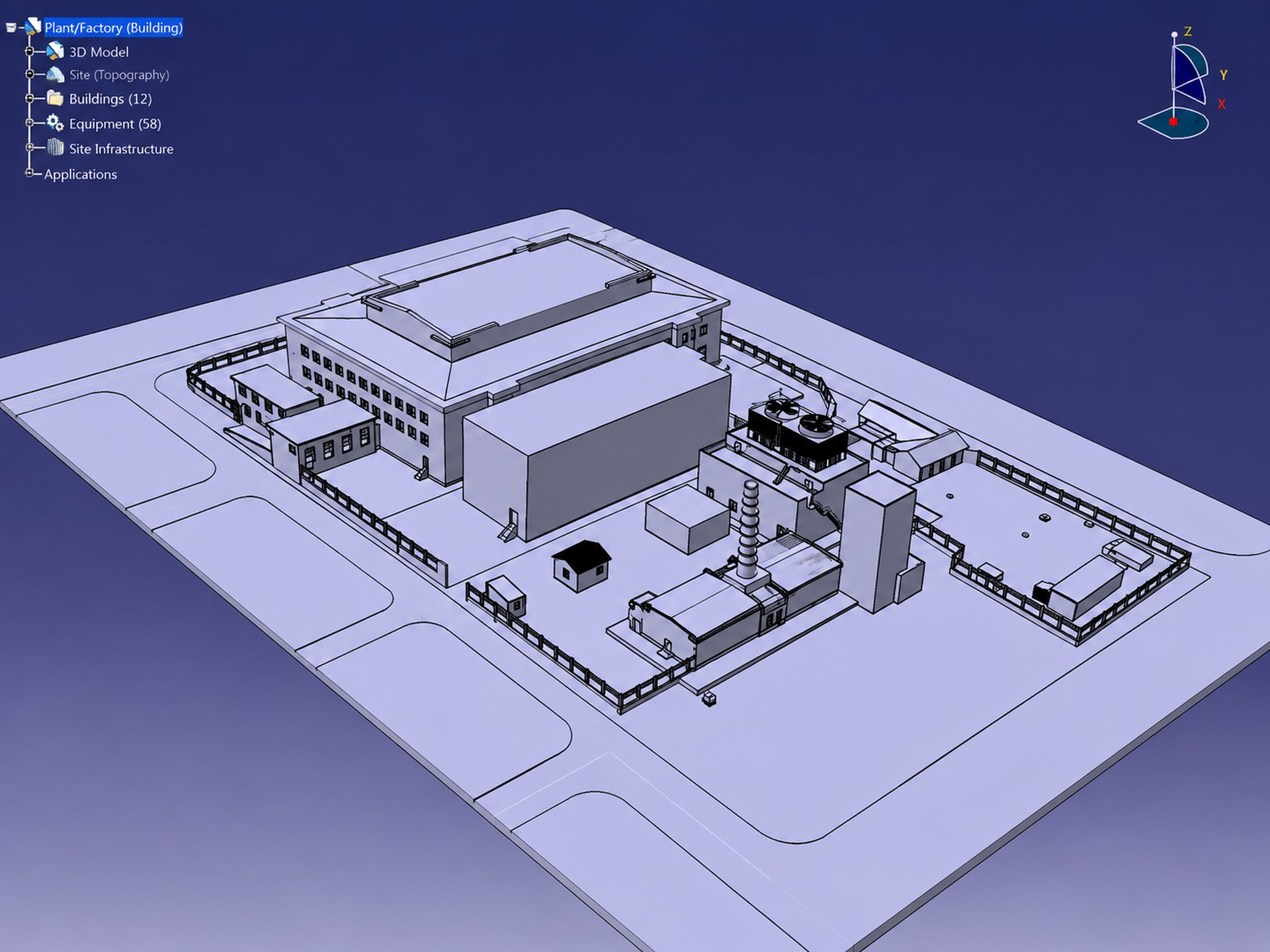
Bring existing building documentation up to date.
We modernise and organise existing documentation by updating plans, redrawing paper or low-quality drawings and converting older records into practical digital formats.
Alterations, extensions and layout changes can also be documented to provide clearer, more organised records of the current property or facility.
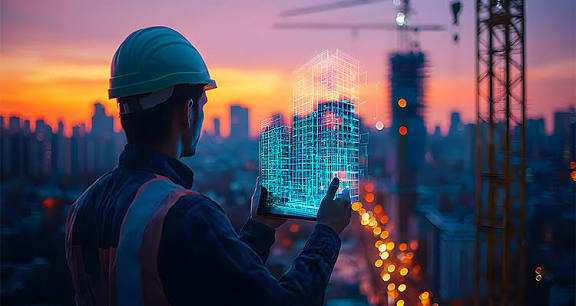
Transform existing spaces into accurate digital building models.
Captured reality data can be transformed into accurate 3D and information-rich BIM models based on actual existing conditions.
These models can support architectural and engineering coordination, renovation planning, construction planning, facility management and asset documentation.
Capture reality. Build it digitally.
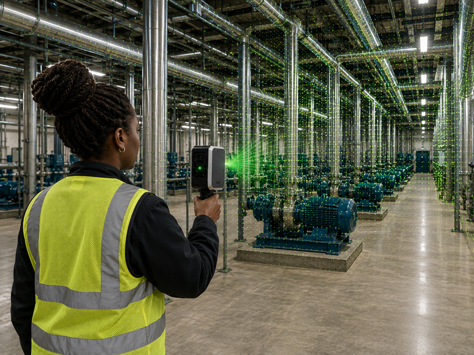
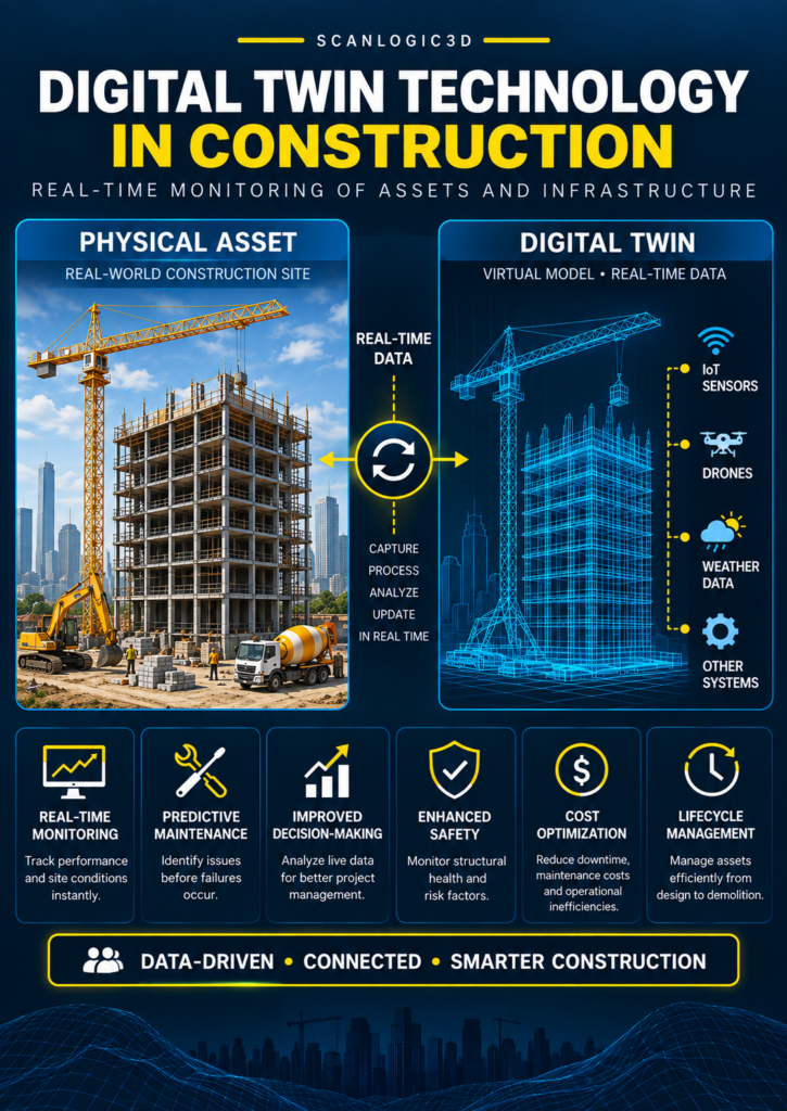
Create a detailed digital representation of your physical environment.
We create digital representations of buildings, assets and environments that provide a practical way to visualise and understand existing physical spaces.
Digital twins can support planning, spatial analysis, asset documentation and ongoing building or facility management.
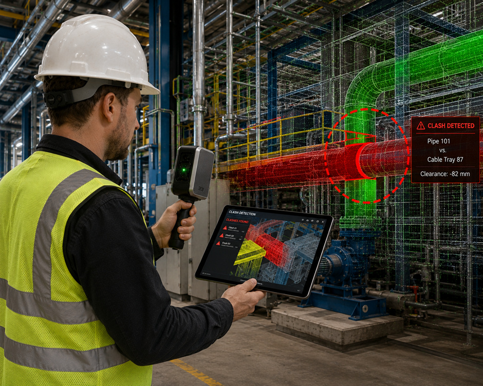
Identify coordination issues before they become construction problems.
We assist project teams in identifying hard clashes, clearance or soft clashes, discipline coordination issues and access limitations.
Captured and modelled information can also assist with identifying workflow and 4D coordination conflicts, helping teams better understand potential issues before work progresses on site.
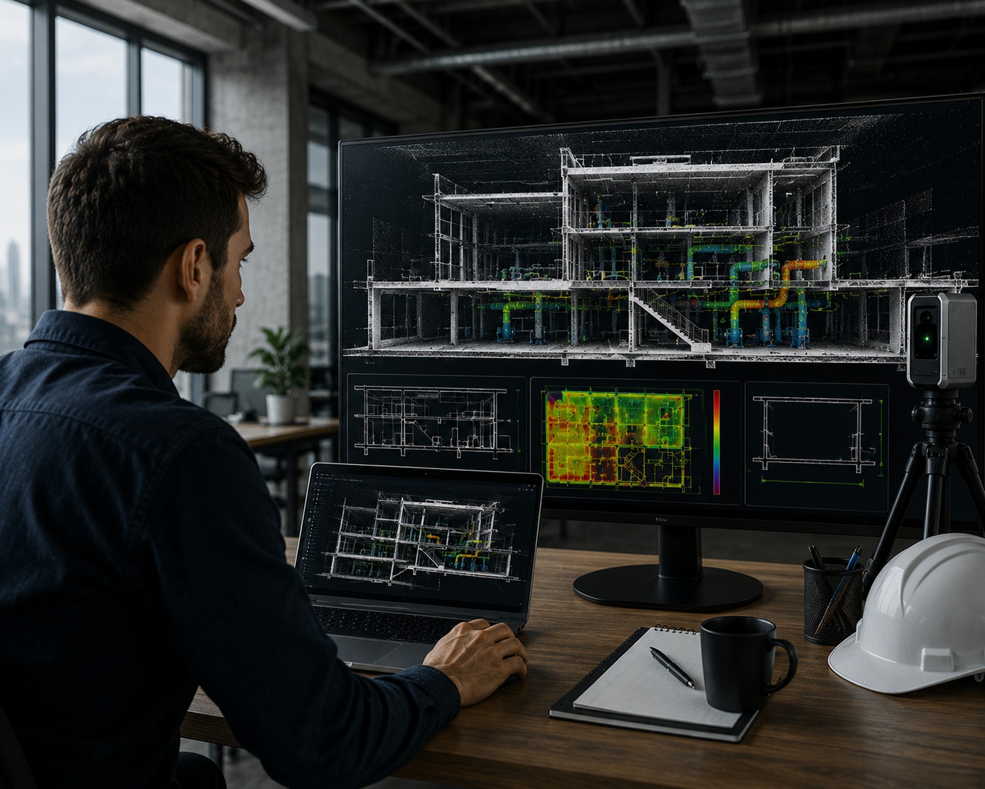
Examine captured environments from the perspective your project requires.
Detailed spatial data can be examined from different viewpoints and cross sections to provide greater insight into existing conditions.
This information can support dimensional analysis, structural investigation, existing-condition assessment, design planning, modelling and project visualisation.
Experience and revisit a space from virtually anywhere.
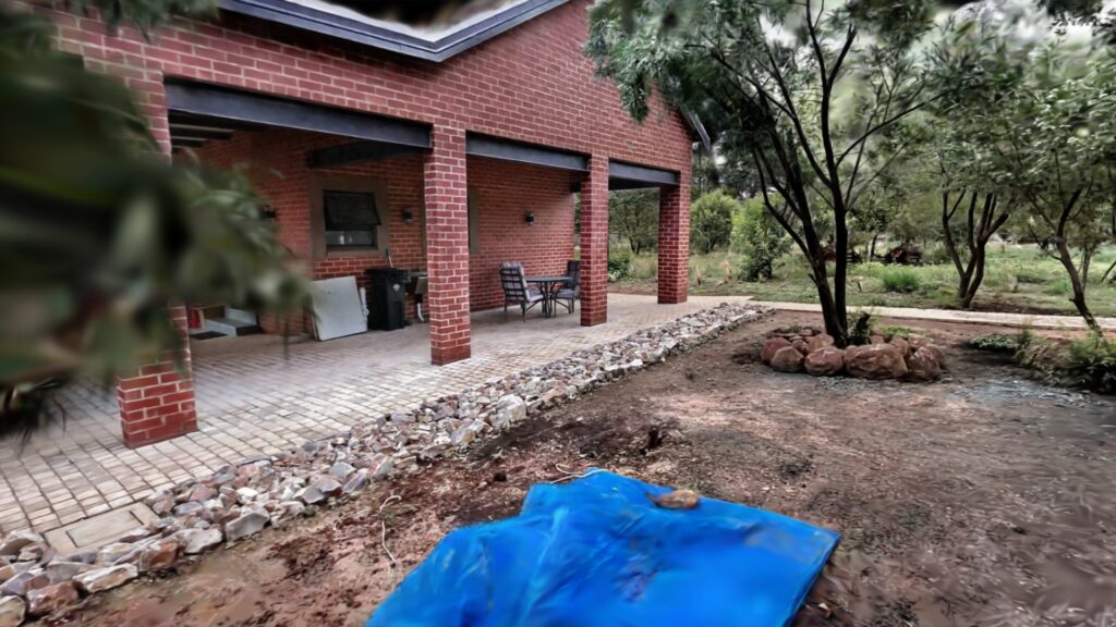
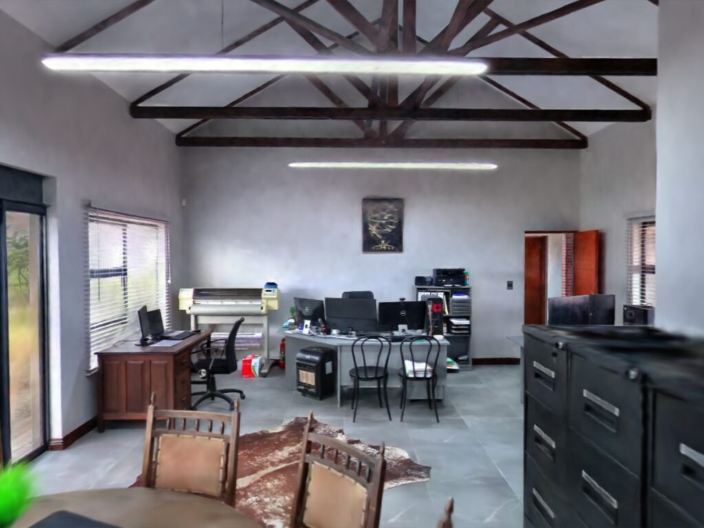
High-resolution panoramic imagery provides immersive views of buildings, properties and environments for remote viewing, inspections, project visualisation and documentation.
Interactive 3D environments can also be created from captured imagery and spatial data, supporting property presentations, digital twins, facility documentation and virtual site visits.
Capture every detail. Explore anywhere.
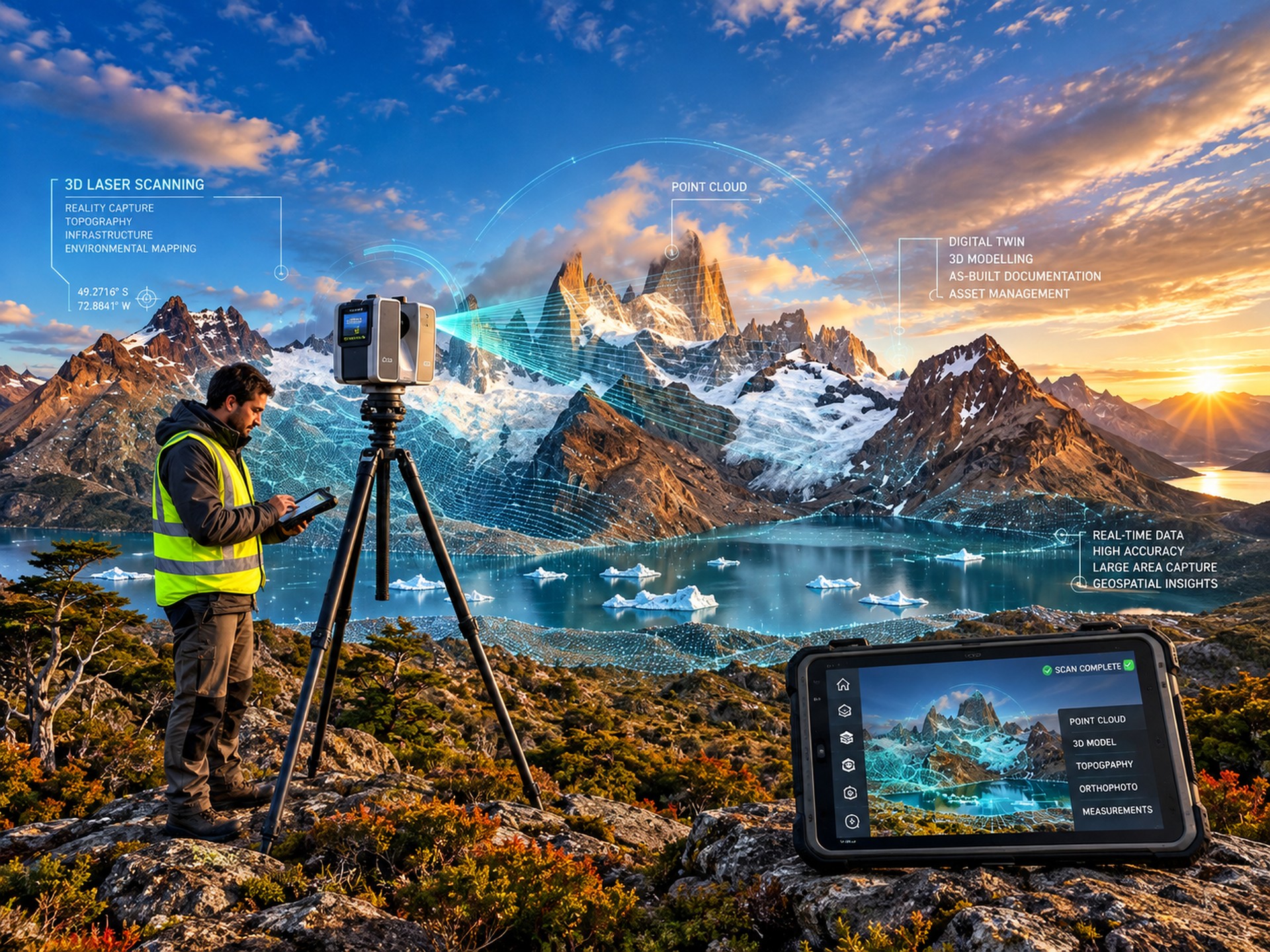
Every project is different. Deliverables can be tailored to suit your requirements, intended application and existing project workflow.
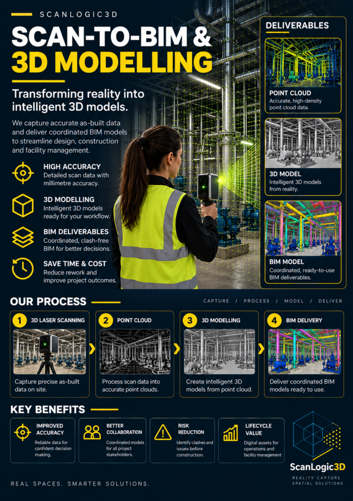
A structured workflow takes your project from initial requirements through site capture, processing and quality control to final project-ready delivery.
01
We define your project requirements, required deliverables and site conditions.
02
The environment is captured using appropriate reality-capture technology, including 3D laser scanning and related methods where required.
03
Where required, survey control and total-station measurements support spatial accuracy and verification of key dimensions.
04
Captured data is registered, cleaned, aligned and spatially verified.
05
Processed information is transformed into the drawings, models and digital outputs required for the project.
06
Outputs are reviewed for accuracy, clarity, consistency and suitability for their intended application.
07
Final information is supplied in the agreed formats, including DWG, PDF, point clouds, 3D/BIM-compatible files or virtual walkthroughs.
Our reality-capture and spatial solutions support projects across the built environment, from individual properties to complex facilities and large-scale developments.
Architecture & Design
Engineering & Infrastructure
Construction & Renovation
Industrial & Complex Facilities
Property & Facility Management
Real Estate & Property Presentation
Mining & Large-Scale Developments
Although based in Gauteng, ScanLogic3D undertakes projects across South Africa and in selected neighbouring and African countries.
Gauteng · Mpumalanga · North-West · Limpopo · Free State · Northern Cape · Lesotho · Eswatini · Botswana · Mozambique